

Engineering the
Digital Reality.
Falcon Info Solutions delivers Enterprise GIS, Drone Survey, LiDAR, BIM, Digital Twins, AI/ML, Remote Sensing, WebGIS, and custom software solutions that transform geospatial intelligence into actionable outcomes for governments, infrastructure, utilities, defence, agriculture, and smart city initiatives.




India's Premier Geospatial Intelligence Company.
Falcon transforms satellite imagery, drone surveys, LiDAR scans, and geospatial data into actionable intelligence. We architect spatial workflows for government mandates, smart cities, infrastructure pipelines, and defense operations.
About FalconFrom Raw Spatial Data to Decision Intelligence.

Enterprise GIS & WebGIS
Deploying scalable GIS architectures and custom WebGIS applications that transform complex spatial data into strategic decision-making platforms for governments.
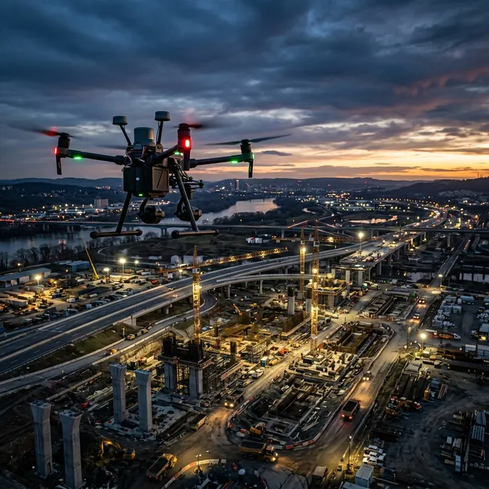
UAV & Drone Survey
Executing large-scale autonomous UAV operations to rapidly acquire engineering-grade topography, accelerating project lifecycles and mitigating ground-level risks.
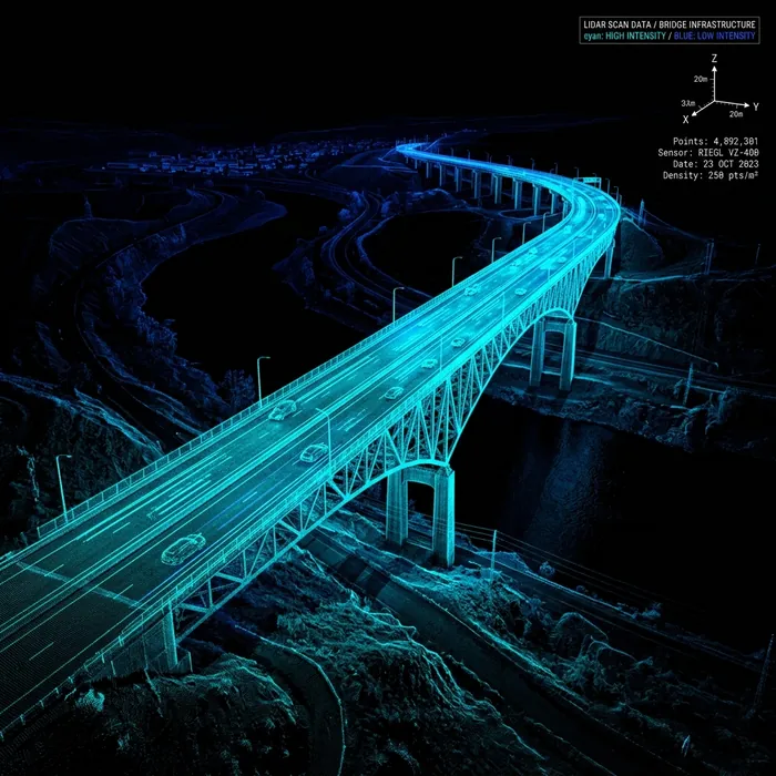
LiDAR & Reality Capture
Acquiring ultra-dense 3D point clouds to construct exact digital replicas of critical infrastructure, enabling predictive maintenance and advanced spatial analytics.

BIM Integration
Fusing precise geospatial reality capture with Building Information Modeling to ensure flawless construction sequencing and clash-free megaproject delivery.

Remote Sensing & AgTech
Leveraging multispectral satellite intelligence to optimize resource allocation, automate yield forecasting, and drive sustainable agricultural economics.
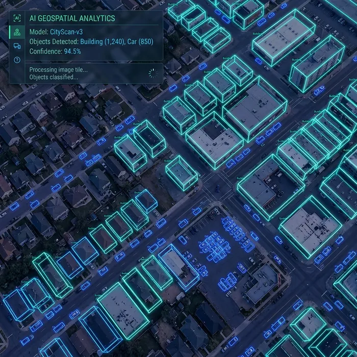
AI & Spatial Analytics
Deploying custom machine learning algorithms against petabytes of raster data for automated feature extraction, anomaly detection, and rapid temporal insights.
Industries We Serve
Water Resources
Hydrological mapping and watershed management.
Agriculture
Precision farming and regional crop analytics.
Smart Cities
Urban planning and municipal tax administration.
Infrastructure
Highway, railway, and pipeline corridor surveying.
Defense
Secure border and installation mapping.
Utilities
Transmission line and asset network management.
Signature Project Outcomes
CR Park Digital Twin
Enterprise LULC Digitization & Terrain Mapping
Drone-based Precision Spraying
BharatNet OFC Network Planning
Why governments and enterprises trust Falcon.
As an integrated Enterprise Geospatial Engineering company, we deliver end-to-end digital infrastructure solutions—fusing GIS, LiDAR, AI, and UAV technology to bridge the gap between physical reality and digital governance.
Read our methodologyGovernment Experience
Proven track record successfully delivering massive, legally-compliant mapping mandates for state and central agencies.
Geospatial Architecture
Deep capability in designing Esri enterprise architectures, secure on-premise spatial databases, and custom Web-GIS portals.
Precision Drone Operations
A robust fleet of survey-grade UAVs equipped with RTK/PPK GNSS receivers for sub-centimeter volumetric and topographical accuracy.
LiDAR & Digital Twin Delivery
High-density mobile and aerial point cloud acquisition paired with automated feature classification to build actionable 3D environments.
Certified for National Operations
ISO 9001:2015
Certified Quality Management System for precision in geospatial data acquisition.
ISO 27001:2022
Certified Information Security Management System ensuring data confidentiality.
ISO 20000-1:2018
Certified IT Service Management System for reliable technology infrastructure.
Engineering the Future of Spatial Intelligence.
Contact Falcon's engineering team to request a technical proposal, feasibility assessment, or capability demonstration for your digital infrastructure project.