

Who is Falcon?
Engineering India's Digital Infrastructure
Falcon Info Solutions is a leading Indian geospatial technology company. We specialize in the acquisition, analysis, and management of spatial data through GIS, Drone Survey, LiDAR, Digital Twin, BIM, and AI/ML technologies.
We are, at our core, an engineering organization. Our primary focus is solving complex, real-world infrastructural and environmental challenges by bridging physical realities with intelligent digital governance. We do not just capture data; we engineer complete, actionable spatial intelligence for enterprises and governments.
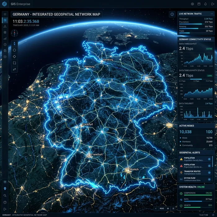
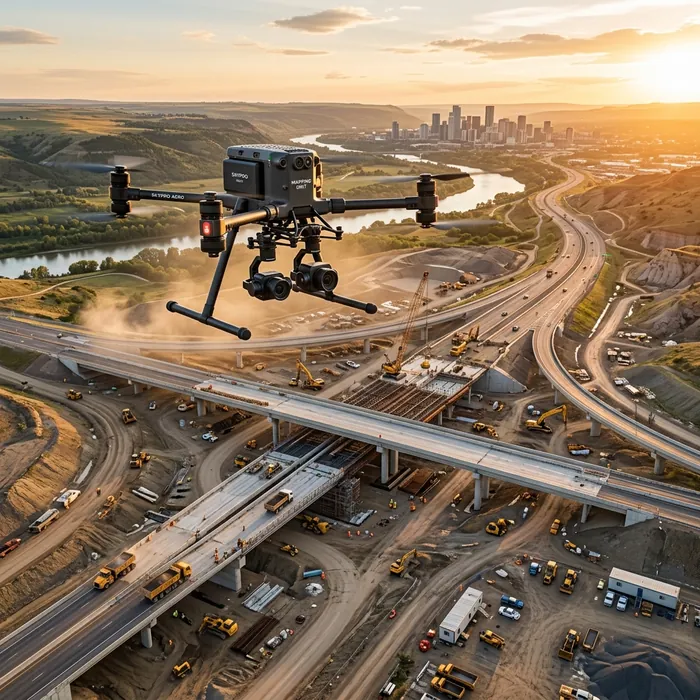
From Lab to Land, Ground to Sky
Falcon began with a distinct vision: to transform fragmented geographical data into a unified, intelligent foundation for national growth. We recognized early that single-technology solutions were insufficient for modern infrastructure challenges.
Our approach has continually evolved to meet these challenges head-on. We seamlessly integrated traditional GIS with advanced Drone Operations, generating highly accurate topological basemaps. As the demand for structural precision grew, we adopted LiDAR and photogrammetry to build ultra-dense point clouds.
Today, we fuse these disparate data streams into comprehensive Digital Twins and Enterprise BIM models, applying AI and machine learning to extract predictive insights. This continuous evolution ensures we deliver an integrated, end-to-end engineering ecosystem rather than isolated datasets.
Building a Smarter, Sustainable Digital Infrastructure
We exist to revolutionize industries by harnessing the power of emerging geospatial technologies. Beyond delivering data, our true purpose is to empower youth, farmers, enterprises, and governments by bridging the technological gap and building the foundational digital layers required for national growth and sustainability.
Innovation
Continuously adopting and integrating emerging technologies.
Precision
Unyielding commitment to geodetic and structural accuracy.
Integrity
Operating with absolute transparency and regulatory compliance.
Collaboration
Fostering multidisciplinary teamwork across engineering domains.
Continuous Learning
Empowering youth and advancing technical skill development.
Accuracy over marketing. Solutions over software.
We maintain a strict engineering-first mindset. In an industry often clouded by marketing claims, we focus entirely on geodetic accuracy, structural integrity, and practical problem-solving.
Our objective is never to simply sell a service, but to forge long-term partnerships by building the most reliable, secure, and actionable spatial intelligence possible for our clients.

A Multidisciplinary Force of Spatial Engineers
Technology is only as effective as the minds directing it. Falcon is built upon a foundation of elite geospatial professionals, including certified Drone Pilots, veteran GIS Analysts, LiDAR Processing Experts, BIM Engineers, and AI/ML Practitioners.
Because our solutions are deeply integrated, our teams do not operate in silos. A topographic survey requires seamless collaboration between the UAV flight crew, the photogrammetry specialists, and the data scientists responsible for feature extraction.
We also heavily invest in continuous skill development. From advancing our own engineers' technical proficiencies to actively training NCC Cadets and youth in rural areas on drone technology, we are actively shaping the next generation of spatial innovators.
Meet Our Team →A Streamlined Approach to Complexity
We simplify complex geospatial challenges through a standardized, three-stage engineering methodology, ensuring precision from initial capture to final deployment.
Acquire
Deploying the right sensory tool—be it satellite imagery, UAV photogrammetry, or terrestrial LiDAR—to capture high-fidelity raw spatial data tailored to the project's exact requirements.
Analyze
Applying rigorous geodetic processing, classification, and AI-driven data fusion to transform fragmented point clouds and pixels into coherent, highly accurate spatial models.
Deliver
Integrating the refined intelligence directly into enterprise systems via Digital Twins, BIM models, and interactive dashboards, empowering immediate, confident decision-making.
Why Clients Trust Falcon
Engineering-Focused Delivery
We approach every project as engineers, not just data providers. Our outputs undergo rigorous quality assurance to ensure they meet exact geodetic tolerances before they ever reach the client.
Regulatory Awareness & Compliance
Operating within highly regulated sectors such as aviation (DGCA) and government infrastructure requires absolute compliance. We seamlessly navigate legal frameworks to ensure completely secure, authorized data acquisition.
Long-Term Strategic Relationships
We view our clients as long-term partners. From the initial consultation to post-delivery support and software integration, we remain committed to ensuring our intelligence continues to drive value for years to come.
Engineering the Future of Spatial Intelligence.
Contact Falcon's engineering team to request a technical proposal, feasibility assessment, or capability demonstration for your digital infrastructure project.