
Back to Projects
Enterprise LULC Digitization & Terrain Mapping
Client Type
Urban Planning & Environmental Agencies
Location
Regional Command Areas
The Challenge
Government and private stakeholders struggled with fragmented, outdated spatial data, resulting in redundant ground surveys, misaligned infrastructure planning, and delayed resource management decisions.
Our Approach
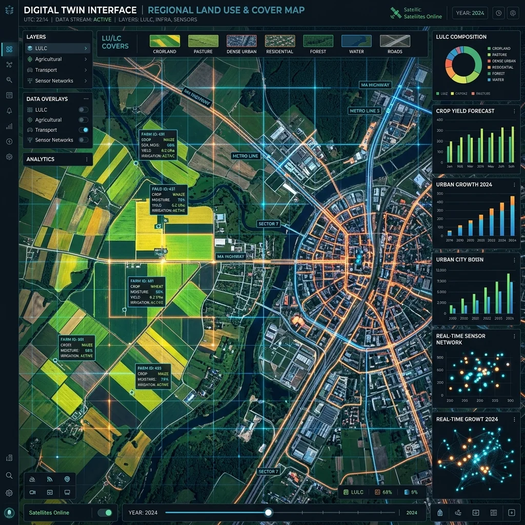
Falcon deployed an integrated geospatial mapping solution to execute a highly granular Land Use and Land Cover (LULC) digitization. By analyzing high-resolution aerial and satellite imagery, we developed a multi-layered spatial dataset capturing intricate agricultural parcels, sprawling road networks, and natural topographical features.
Key Outcomes
Generated an authoritative spatial single-source-of-truth for regional planning
Precision-mapped road networks, built environments, and critical infrastructure
Compiled a comprehensive hydrological inventory for advanced watershed management
Executed granular terrain surface classification (stony/sandy/gravel) to support engineering feasibility
Digitized structural assets including agricultural hubs, greenhouses, and utility centers
Technology Stack
- Esri ArcGIS Pro
- Multispectral Analysis
- AI Feature Extraction
- PostGIS