UAV Services
At Falcon Infosolutions, we bring innovation and efficiency to the world of surveying with our cutting-edge Aerial Survey Using Drones Services. By harnessing the power of drone technology, we enable you to capture high-resolution aerial data, unlock new perspectives, and gain valuable insights for your projects. Experience the advantages of speed, accuracy, and cost-effectiveness that our aerial survey services can offer.
Comprehensive Aerial Survey Solutions
Our Aerial Survey Using Drones Services provide a comprehensive range of solutions tailored to meet your specific surveying needs. From land mapping and construction site monitoring to environmental assessment and infrastructure inspections, our drone-based surveys offer a wealth of benefits for various industries.
Key Features and Benefits of our Aerial Survey Using Drones Services:
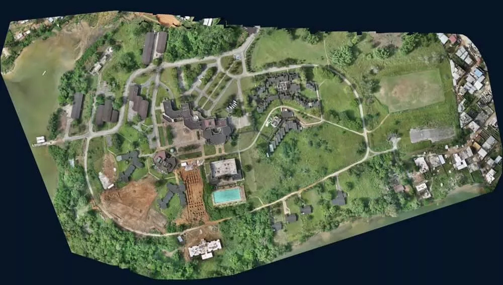
High-resolution Imagery and Data
Capture high-quality aerial images and data with our state-of-the-art drones equipped with advanced imaging sensors.
Obtain detailed and accurate visual information for analysis, planning, and decision-making purposes.
Efficient Data Collection
Save time and resources with rapid data collection capabilities of our drones, covering large areas efficiently.
Capture up-to-date information in a fraction of the time compared to traditional surveying methods.
Enhanced Safety and Accessibility
Conduct surveys in challenging or hazardous environments with ease, ensuring the safety of surveyors.
Reach inaccessible areas such as steep terrains, rooftops, or remote locations to gather critical data.
Precise Mapping and 3D Modeling
Generate accurate topographic maps, orthomosaic images, and digital elevation models for precise mapping applications.
Create detailed 3D models of structures, landscapes, or construction sites for comprehensive analysis and visualization.
Real-time Monitoring and Inspection
Monitor construction progress, track changes, and detect potential issues in real-time using aerial imagery.
Conduct efficient inspections of infrastructure, utilities, or assets, identifying anomalies and facilitating timely maintenance.
Cost-effectiveness and Sustainability
Minimize costs associated with traditional surveying methods, such as ground-based equipment and labor-intensive processes.
Reduce environmental impact by using drones instead of larger, more resource-intensive aircraft.
Unlock New Perspectives for Your Projects!
Discover the power of aerial surveying with our Aerial Survey Using Drones Services. Capture high-resolution imagery, obtain accurate data, and gain valuable insights for your projects. Contact us now to learn more about how our drone-based survey solutions can elevate your surveying processes and drive success. Trust Falcon Infosolutions for innovative and efficient aerial survey services using state-of-the-art drones.